Here are some of the maps we looked at while we were studying Lewis and Clark. There is maps of the ones that Lewis and Clark drew and the one we used to trace the expedition.
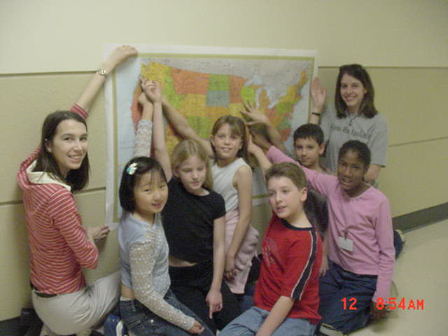
This is the Eagle team pointing to the start of
the expedition
in St. Louis and to Fort Clatsop, where they reached
the
Pacific.
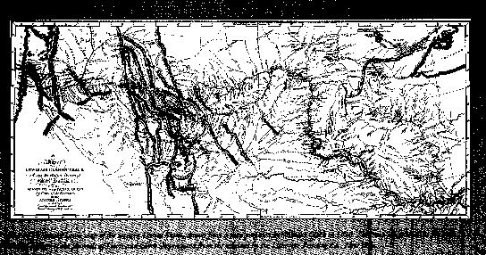
This is the map of the expedition in the times
of Lewis and Clark. This is a replica of the map that Lewis and Clark
drew along their journey.
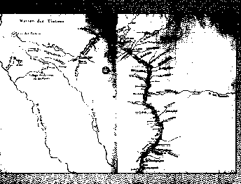
This is a map of the Mississippi River. It
is a replica of the one that
Lewis and Clark drew.